


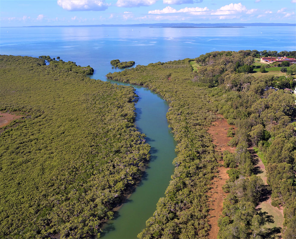
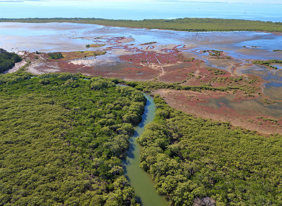
Hilliards Creek Environmental Monitoring including 360 View
- May 18, 2018
- 1 min read
In addition to HD imagery which can be further analysed in GIS software, we also supply a 360 degree overview of the site which really helps in the orientation when viewing individual geo tagged images. Click on the Link in main image to see.


Comments